Austin Texas is known for it’s live music scene, it’s food trucks, breakfast tacos and it’s hiking. Ask anyone where to hike and they will tell you BARTON CREEK! Well I don’t agree. Barton Creek is okay, but there is no challenge and Barton Creek dries up during the summer droughts. Much better and always wetter is Bull Creek. I generally start this hike right off the Capital of Texas Highway on Old Spicewood Road at the trailhead of the Inga Van Nynatten Memorial Trail. Inga Van Nynatten was a student at the University of Texas. She was an environmentalist and I think a National Park Ranger at one time. Inga also pushed the city to develop Bull Creek and recruited volunteers to make it happen. Inga died way too young of cancer.

Bull Creek is an eleven mile long tributary of the Colorado River.
It’s not a far walk on the Inga Trail before you reach the first waterfall of the day.


This trail is really an easy hike. It is known for it’s abundance of wildflowers and of course the waterfalls. After the first waterfall the trail turns down through a small canyon of the unnamed creek and there is an easy rock hop across the stream.

The trail then runs along the banks of Bull Creek and by some interesting rock formations.

The Inga Trail runs for about a mile past several waterfalls. Look for a fire hydrant in the creek; I don’t know why it’s there but it’s an important marker on this trail. It’s the creek crossing to hook you up with the Lower Bull Creek Greenbelt.


Once you cross Bull Creek , which is a little more difficult then the creek earlier, you are on the Lower Bull Creek Greenbelt. This portion of the trail is about 2 miles or so in length. I like it because you are almost entirely in view of the creek.


Besides the old mill dam there are other relics of human presence here. Bull Creek was once used as a pass through the hill country northwest of Austin. Old wagon tracks can be seen when the creek is down

On a cliff not far from the wagon tracks is an old car demolished and deposited long ago in some forgotten flood.

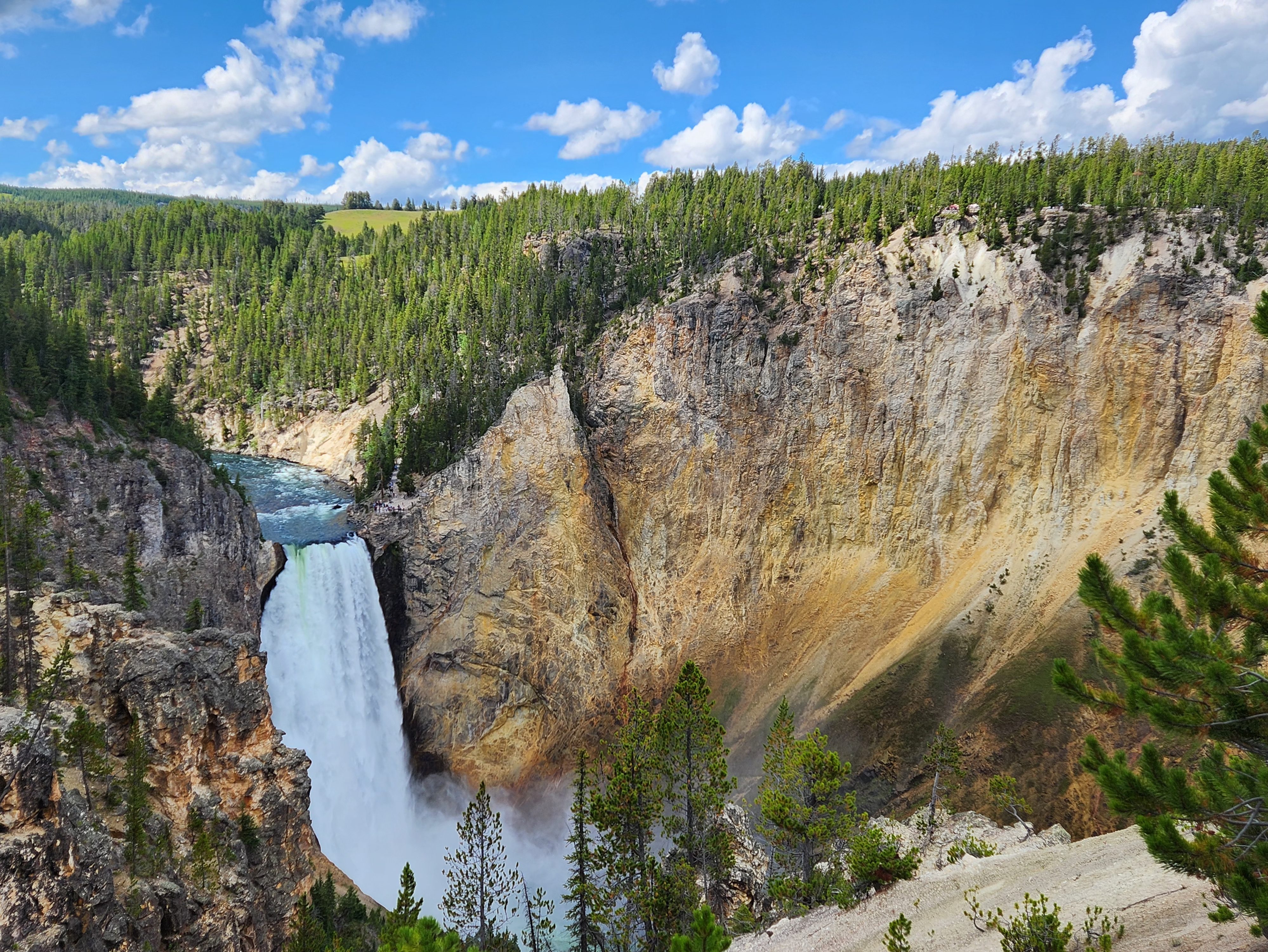
As you near the Bull Creek District Park the waterfalls get better.


The trail ends at the picnic area of Bull Creek District Park. The area here is really pretty with canyon walls and large boulders.


So here you can take a loop trail up along the canyon wall and back to the big falls where you have to retrace your steps back to the Inga Trailhead. Just a beautiful hike from one end to the other.


