
At the end of the day, it doesn’t matter at Lake Bastrop. Lake Bastrop contains two parks, the Southshore Park and the North Shore Park with a 4.5-mile trailway between them, and a loop in each park. So where do you start? It doesn’t matter because you are eventually going to return to the same place.
Lake Bastrop isn’t a State Park, and it isn’t a County Park. It is a park owned and operated by the Lower Colorado River Authority. This group runs all the dams and power generation and water supply along the Lower Colorado River, the Texas one. Which is why this lake is here.
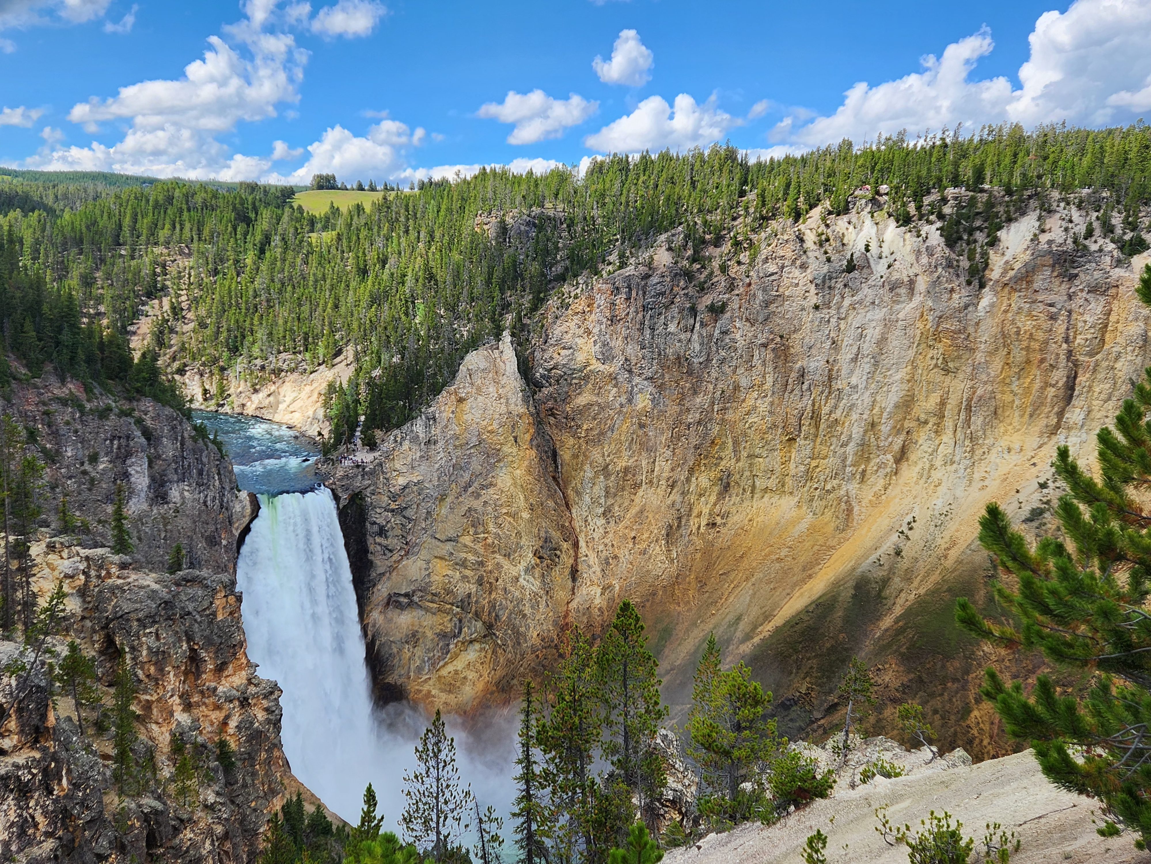
This Lake was created in 1965 by the damming of Spicer Creek. The lake covers 900 acres.
Most manmade lakes in Texas are reservoirs for drinking water, for flood control or for both. But Lake Bastrop’s main purpose is cooling for the Sim Gideon Power Plant a natural gas fired plant and the Lost Pines Power Project a second natural gas plant owned by GenTex Power a subsidiary of LCRA.
The Sim Gideon Plant has three generating units providing 620 Megawatts of power and the Lost Pines has 2 generating units putting out 545 megawatts. The Gideon Plant is named for Sim Gideon the LCRA general manager from 1955-1973.
The Lost Pines Plant was designed to use 40% less natural gas and 30% less water than a standard natural gas fired plant. In fact, the Lost Pines Plant is one of the most efficient power generating units in the world.


Back to the problem, do you go north to south or south to north? Well in contradiction to the sign I am going south to north since I am in the Southshore Park.
I loved this trail. It had a great length of 10 miles for the round trip, plenty of elevation change although not to great heights, and most of all a, portion was in the Lost Pines area.
Ah the Lost Pines; makes me feel I am back in North Carolina walking through those pines. This stand was one of the few that haven’t been burnt up. The Bastrop Complex Fire of 2011 missed this area, and the fire of 2022 didn’t get these either. They keep messing around with this area and the pines will be lost as in forever.

This hike started around a slough. Then I reached the first of many bridges all named. This was handy as they were also named on the trail map, so you always knew where you were along the trail.

The trail entered the Lost Pines at Thrill Creek. From the picture below you can see how abruptly the area changed.

For the next mile or so I was in heaven. The Lost Pines if you remember from an earlier post are Loblolly Pines that have become separated from the rest of the Piney Woods of east Texas. North Carolina is covered in Loblolly Pines. These are the few that are left in Central Texas.

The most beautiful area of this hike was in the Spicer Creek Area. You were deep in the pines and the terrain was somewhat hilly.

It reminded me of Clemmons State Forest back in NC.

As I approached Spicer Creek, I saw this sign.

Just what you need to know hiking on a weekend when we have had 5 inches of rain ice and sleet over the last half week.
The highlight of this hike was the Floating Bridge. I came to a slough that they couldn’t get the trail around because a road ran up on the bank. So, they built a floating bridge.


After crossing the floating bridge, the trail became muddy and had lots of standing water. But I pressed on.

Between Buck Creek and Little Buck Creek I caught another great view of the lake.

Around the loop in the Northshore Park and I guess this means we start back!

