We got back to the Smokies in 2016, this time a week later hoping for more leaf change. We stayed in the same cabin as the year before as we were comfortable there, it was clean, and the owner a fantastic host.

The hardest thing to judge in life in my opinion is when the leaves are going to change in the mountains. The year we couldn’t go due to my heart debacle would have been perfect. Here’s how I know. The National Park Service has two cameras where you can see small sections of the park. The first is on Purchase Knob (5085) in the south towards Maggie Valley N.C. The other is on Look Rock (2657),near Marysville Tennessee. Look Rock figures into this trip later on.
This time we came into the park through Maggie Valley N.C. on US19 also know as Soco Road. After driving through Maggie Valley Soco Road takes you to Soco Gap and an intersection with the Blue Ridge Parkway. See how I worked in an extra day of sightseeing before our 3PM check in. It’s the only way to go when you are on a three or four day weekend.


Have you ever heard of the Plott Hound? It is a very popular hunting dog in N. C. Evidently it was developed in these hills. Our next stop was at the Qualla Boundary overlook or the Eastern Cherokee Indian Reservation Overlook. From school we should all remember the Trail of Tears, eastern Indians were rounded up and marched west to Oklahoma. Well, although considered one of the civilized tribes, and very co-operative with the government, many Cherokee Indians refused to give up their land. They hid out in the Mountains and when it was safe, purchased a section of their land back. The government formed the Qualla Boundary, also know as the Eastern Cherokee Reservation.


I remember when I was here as a kid in 1968, we stopped in Cherokee N.C., the tribal capital. It was very poor and most people were selling fake Indian souvenirs. Today Cherokee is very prosperous with a large casino and hotels dominating the skyline. The city and much of the reservation lies within the Oconoluftee River Valley.

The parkway intersects US441 near the Oconoluftee Visitor Center in the south end of the park. I wanted to come this way because last year we only went as far south as Clingman’s Dome. I wanted momma to see this side of the park. We drove through the park to our cabin in the Wears Valley. And of course, ate at Paula Deen’s Restaurant.

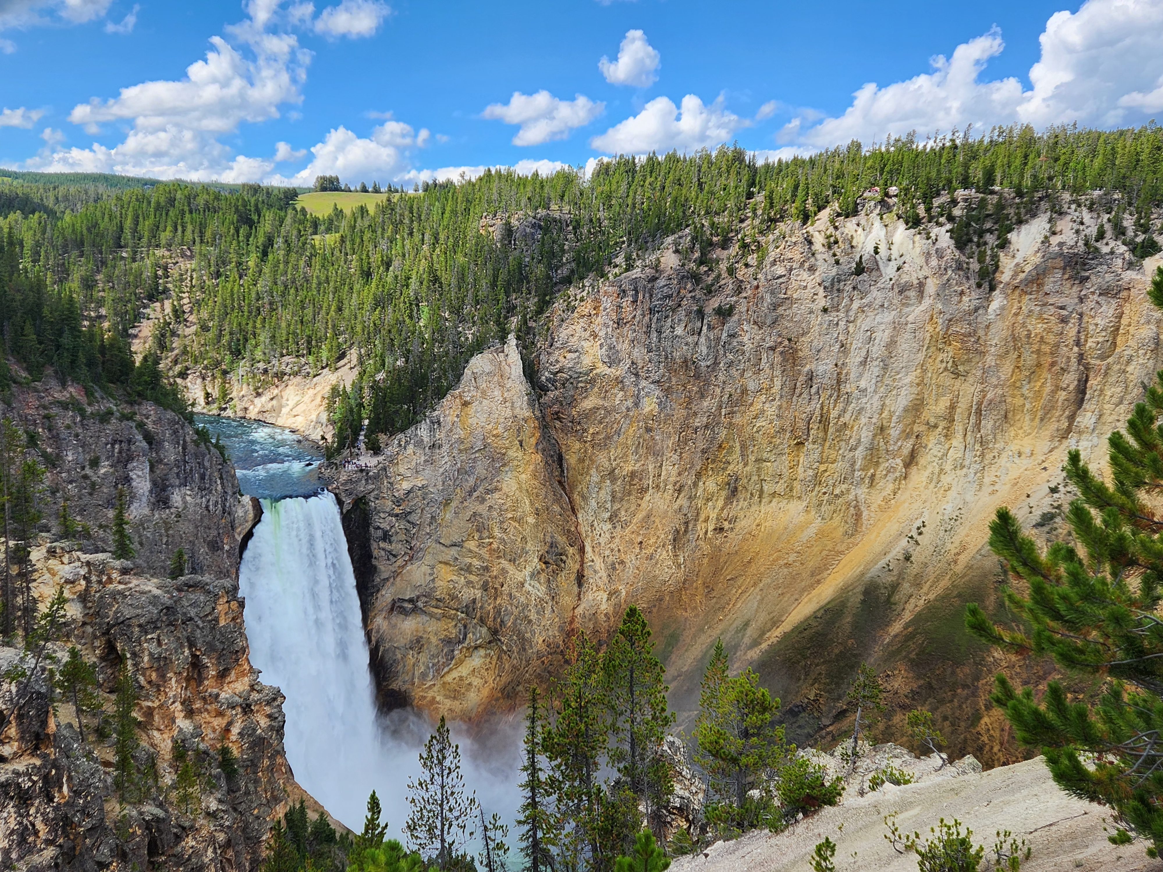
Since we had already been to Clingman’s Dome and Newfound Gap we decided the next day to go hike through the Elkmont Ghost Town.

Now for some more history. Elkmont started out as a logging camp. In 1910 the logging company began to sell plots of land to hunters and fisherman. Soon the elite of Knoxville Tn developed the “Appalachian Club” and turned the area into a resort for the wealthy citizens of Knoxville. Here they gathered for the summer to escape the heat of the Tennessee Valley and the city for a vacation in the mountains. Today it is a listed historical place. Unfortunately most of the vacation cabins have fallen into serious disrepair and decay.


There is a small section of the resort where the National Park Service has restored a few cabins. One, the Spence Cabin, can be reserved for weddings and meetings for weddings and receptions although they tell you there is limited electric service.

Also restored and available for use is the Appalachian Clubhouse. The clubhouse served as a central meeting point for the resort residents. The building that is there today was built in 1934 after the original burnt down.

After our hike through Elkmont we went into Gatlinburg for lunch. We then took the 3 mile overhead tram ride to Obergatlinburg theme park and ski resort. Being summer the ski runs were closed for lack of snow but we were able to take the ski lift to the top of Mt. Harrison, (3510 ft). What a spectacular view we had across Gatlinburg to see Mt LeConte (6593FT). Mt LeConte is the third highest peak in the Smokies, only shorter then Clingman’s Dome (6643FT) and Mt. Guyot (6621FT). Mt LeConte was named for either Joseph LeConte or his brother John LeConte, no one is really sure. there is a trail up the mountain to a hotel which is the highest operating hotel in Eastern America. The Mt Leconte trail is also considered one of the most dangerous in America.

As you can see the Mt LeConte mastiff is huge. From it’s base to it’s summit it is one of the highest peaks in the Appalachian Mountains rising 5301 ft from it’s base in Gatlinburg which has an elevation of 1292 ft.
The ride up the ski lift was well worth the time.
Another worthwhile trip to avoid all the people, ( Great Smoky Mountain National Park is the most visited park in America), is,…….. Gee I almost hate to let this secret out, the Foothills Parkway. The parkway runs from Walland Tennessee 16 miles west to US129. Now if you are a motorcycle enthusiast you have probably heard of the Tail of the Dragon. This is a very curvy section of US 129 from the Parkway to Fontana Dam. We didn’t go; you know momma and her fear of heights, especially along curvy roads. But we did do the parkway and now I will once again speak of Look Rock. Yep we went there.

We drove the Parkway stopping at various overlooks. This section traverses Chilhowee Mountain and gives various views of the Smokies on one side and the Tennessee River Valley on the other.

As you drive west the parkway continually gains altitude topping out at Chilhowee Mountain’s high point at Look Rock (2657).

There is a hike up Look Rock to an observation tower. It is a moderate hike on what I would call a road but you do gain 170 feet in a very short span.

So up to Look Rock Tower we hike. We have 360 degree views from the tower.


After our short hike up to the tower and back we went on towards route129 and the tail of the dragon. At Chilhowee Lake momma decided she couldn’t do the tail so we turned back.
Chilhowee Lake was originally built by ALCOA for it’s Tapoco Generating Project. Chilhowee lake is about 10 miles long but you can see across it fairly easily.

We drove back to our cabin and in the morning it was time to head home. What a great trip although we didn’t get to see many changing leaves.
