
I wish we lived in San Marcos. They have two large natural areas in Purgatory Creek and Spring Lake. Both have miles of trails. Purgatory Creek is more rugged, but Spring Lake is much less crowded and has more history. Spring Lake, San Marcos Springs and Sink Creek form the headwaters of the San Marcos River. Spring Lake and San Marcos Springs are believed to be one of the oldest areas of continuous human habitation in North America. Evidence of the Clovis culture has been found nearby.
The springs in Spring Lake flow at such a rate that the San Marcos would be the last Texas River to go dry in a drought. The Edwards Aquifer would have to almost go dry to stop the flow.

This park is divided into two areas. The Meadow Center is an Aquatic Research Center run by Texas State University. Then there is the natural area. I didn’t visit the lake or spring on this trip. As I usually do, if I find something that I think will interest Momma I put that off until she is with me. Well at the Meadows Center they have glass bottom boat rides something I think momma and the older grandkids would love. So, I will be returning soon.
As you can see, I caught a beautiful sunrise as I prepared to hit the trail. Another scorcher is forecast for today, 106*, so I gotta get in and out by 10 AM or so.
If you hike here first thing ya gotta do is DEET-Up!. Every flying, biting insect in San Marcos must live in these woods. I lasted about a mile and about the third fly bite I had had enough!
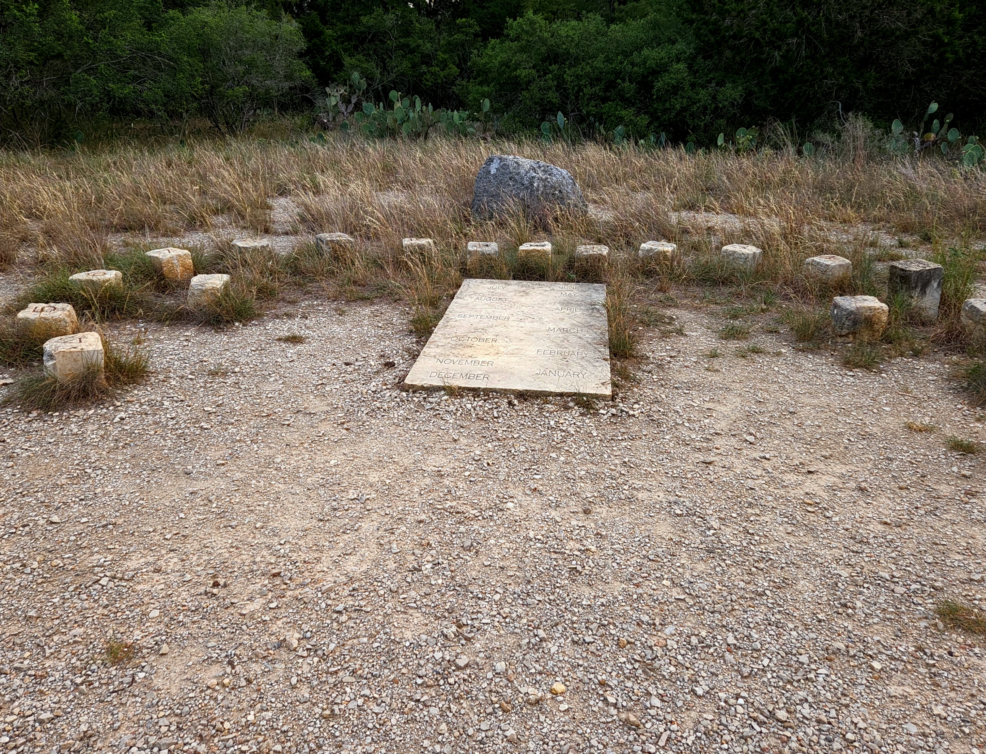
I started out on the Exogyra Trail. Exogyra is the name of an oyster.? Hey, I don’t name ’em I just hike ’em. The Exogyra Trail soon took me to the secondary trailhead. Here there is a sundial the likes of which I have never seen before.
Here many trails start out. I was going out as far as possible around the edges, so I took the Tonkawa Trail. Now Tonkawa is neither a bug nor animal, but it is the name of the Indian Tribe who are believed to have inhabited the area for many centuries. When the Spanish first settled near the Springs the Tonkawa were friendly but constant raids by the Comanche prevented settlement of the area until after Texas achieved statehood. The Tonkawa were weak in battle and were driven all over Texas by the Apache and Comanche. But when the white settlers came the Tonkawa were invaluable as scouts for the Texas Rangers and U.S. Calvary and were delighted to get some Comanche scalps!
Keeping to my plan to make as big a loop as possible, I headed for the Blind Salamander Trail.
Passing through the Wickiups Picnic area I got my first view of the day.

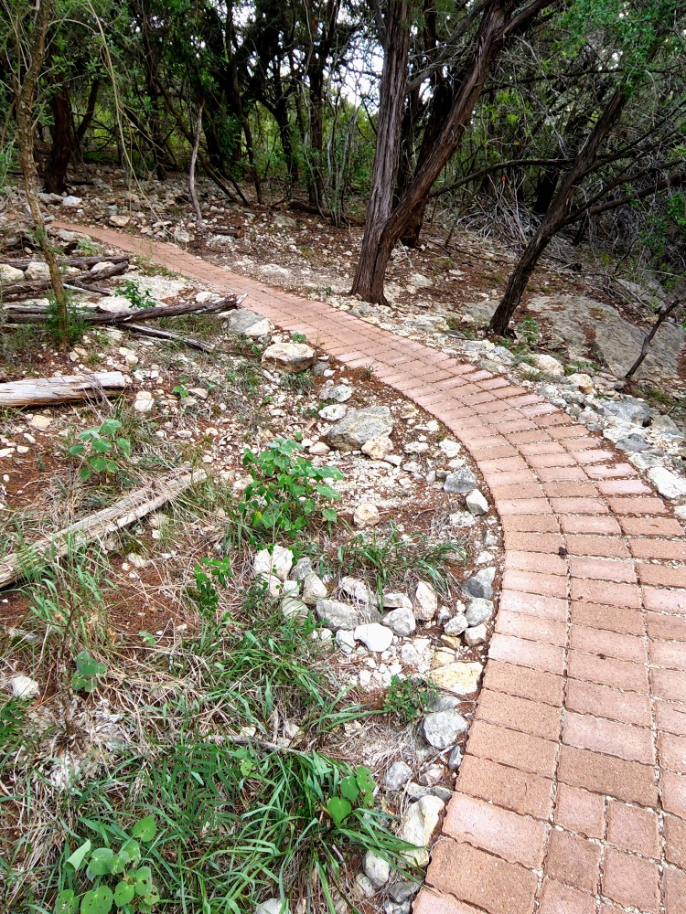
I say picnic area, but it was two tables on a high point above the Tonkawa Trail. Close enough. The Blind Salamander was an interesting Trail. It went past trees full of Spanish Moss, again I don’t understand why it is so prevalent along the San Marcos, but I saw it at Palmetto State Park, also along the San Marcos. The college had also “paved” sections of the trail over the limestone ledges for the bikers.
The college? Yes, this area is also maintained by Texas State University. The college also runs the glass bottom boat program and the Meadows Center for Water and Environmental Studies.
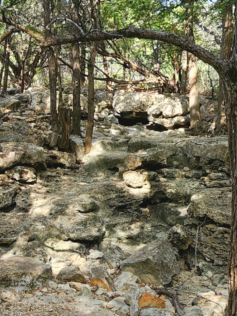
At the park boundary I rejoined the Tonkawa Trail. Next, I found the Bluestem Trail which is the longest in the park and traverses a section of the Bluestem Prairie. Bluestem is a prairie grass native to Texas. The Grey Fox Trail is going to take me on a loop around the southern section of the preserve. This was the best trail of the day. It also had a nice view across Ironweed Holler. Lots of elevation gain and very rugged.

It led me to the Porcupine Trail and the best view of the day. It then passed by Slippery Falls.

It’s going to be all downhill from here for a while. The Porcupine, The Centipede and the Bluestem Trails all merge at this farthest corner of the preserve and like the water around here it all leads to Sink Creek. First, I am going on a short side trip on the Bluestem to see the prairie and the Lamar Runoff.


I then backtracked on the Bluestem to get the Centipede Trail. This will take me through the Sink Creek Valley back towards the trailhead. This end of the trail was enjoyable because it was just dirt and not rocky.
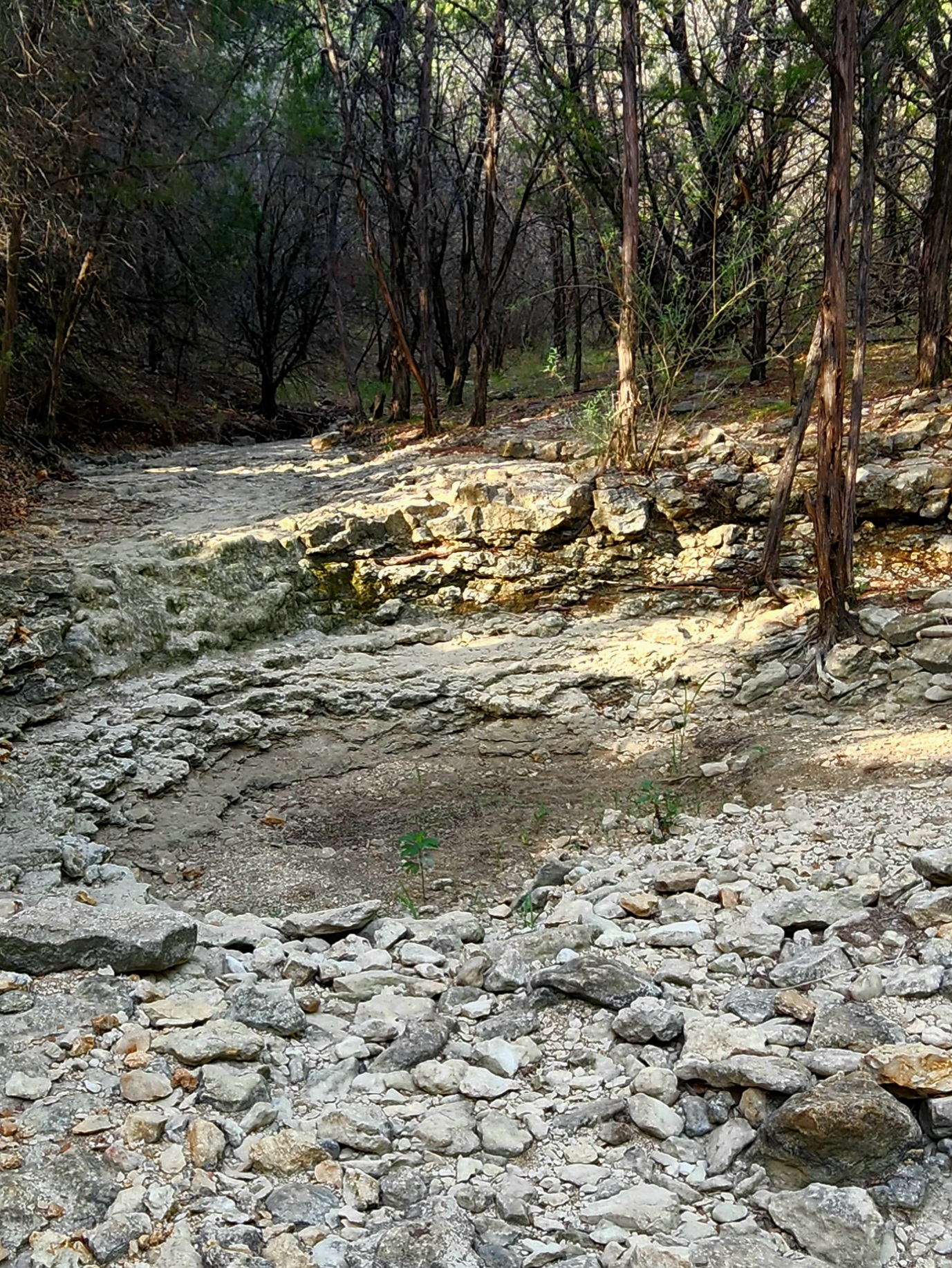
The last point of interest was the Cascades, dry as a bone.

Pretty neat place, lots of sinks, creeks, slumps, and springs all working together to form the 75-mile-long San Marcos River.
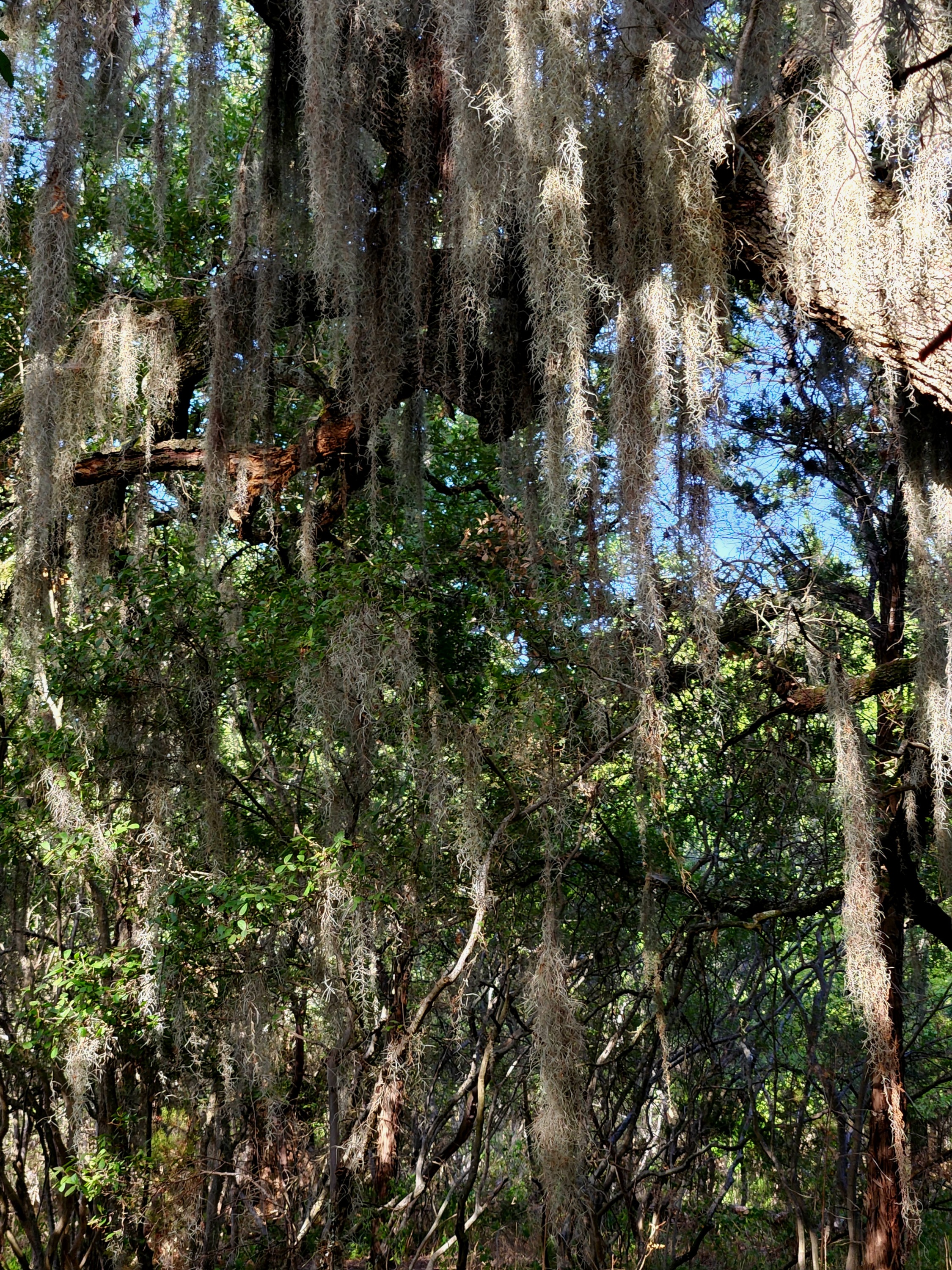

Interesting they have Spanish Moss. Spanish Moss disappeared from most of the South some 50, 60 years ago due to some disease.
Tom
LikeLike
I see it a lot along the San Marcos for some reason. I went to Honey Creek at Guadalupe River for my first day hike. The ranger said that there is another type of moss similar to Spanish Moss and that is the most likely to be seen although both are present in the area. I forget what she called it though. I just call it all Spanish moss. The main difference was that the other one actually lived off the tree where Spanish moss lives from the air.
LikeLike